
Advanced Navigation announces Hydrus autonomous underwater drone
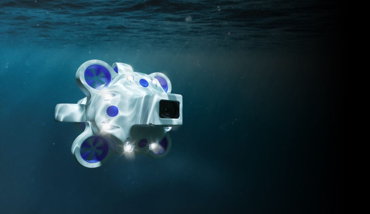
Image: Advanced Navigation
Australia’s AI-based navigation hardware firm Advanced Navigation has developed a fully autonomous underwater drone designed to help researchers and scientists overcome barriers that they typically face when collecting underwater imagery and data.
The drone, named Hydrus, is an out-of-the box system that boasts an AI-powered sonar navigation system so that when it is underwater it can navigate around obstacles, such as marine life. The six-kilogram drone also has a 4K 60fps camera that is integrated with the AI engine to analyse image quality and adjust lighting accordingly.
Other specs include being able to run up to four hours underwater with its lithium-ion battery, record sound, and features 256GB of internal storage.
According to Advanced Navigation, Hydrus can also travel up to 3,000 metres deep, with future versions expected to go further; battle currents of up to six knots; and has been built on an open-platform so users can load their own software and train the AI-system to recognise specific marine species.
For Advanced Navigation co-founder and CEO Xavier Orr, developing Hydrus has been 10 years in the making.
“The ocean is an extremely challenging environment, you have up to 300 times more pressure that we have up here on the surface of the earth. There’s no internet, Wi-Fi, or GPS because radio waves don’t work underwater, and there is very little light past 20-30 metres, so the only way to communicate is through sound,” he said during the launch.
“This makes underwater data capture very expensive, unreliable, and these require large ships with custom-designed equipment and experience crews to operate … and you may not the get data you need.
“The ocean health is critical … the first step to fixing things is collecting data so that we can understand it, so Hydrus is a new approach to restoring oceans.”
In partnership with the University of Western Australia Indian Ocean Marine Research Centre, Advanced Navigation used Hydrus to assist with the mapping of the Ningaloo Reef. Besides monitoring coral reef, Orr said the drone can also be used to inspect underwater infrastructure, such as wind turbines, bridge footings, and moorings.
While the main function of Hydrus is data collection, Orr also noted it can be operated by recreational users, as it does not require any training or licence to use it. Additionally, he added that the company has received initial interest from filmmakers.
The general availability of Hydrus is scheduled for a September global release at a recommended retail price of AU$55,000.
Pingback: https://stealthex.io
Pingback: PGSLOT โปรโมชั่นอัดแน่น
Pingback: Jaxx Liberty
Pingback: plinko
Pingback: Christian Devotional
Pingback: open the site