

US braces for tornadoes, blizzards as winter storm heads east | Weather News
An enormous storm blowing across the United States has spawned tornadoes in parts of Oklahoma and Texas, as much of the central part of the country — from the Rocky Mountains to the Midwest — braces for blizzard-like conditions.
An area stretching from Montana into western Nebraska and Colorado was under blizzard warnings, and the US National Weather Service said on Tuesday that as much as 61 centimeters (two feet) of snow was possible in some areas of western South Dakota and northwestern Nebraska. Ice and sleet were expected in the eastern Great Plains.
Meanwhile, the damage was reported in the Oklahoma town of Wayne after the weather service warned of a “confirmed tornado” shortly after 5am (11:00 GMT) on Tuesday. Video footage from the Oklahoma TV station KOCO showed substantial damage to a home in Wayne, which is about 72 kilometres (45 miles) south of Oklahoma City.
There were no deaths or injuries due to the tornado, McClain County Sheriff’s Captain Bryan Murrell said. But as authorities began assessing the town, it was clear the damage was widespread.
“We’ve got multiple family structures with significant damage … barns, power lines down” in and around Wayne, Murrell said.
Here’s the weather snapshot for Tuesday: It’s all about a massive storm in the Central and Southern U.S.
– Heavy snow, blizzard conditions and a wintry mix are likely in the north-central Plains and Upper Midwest
– Severe storms with all hazards in the Lower Mississippi Valley pic.twitter.com/bWcAGoGCg2— National Weather Service (@NWS) December 12, 2022
National Weather Service meteorologist Doug Speheger said wind speeds reached 179 to 211 kilometres per hour (111 to 135 miles per hour). The tornado was rated a level two on the Enhanced Fujita Scale, a measure of tornado damage that runs from zero to five.
It was likely on the ground for about two to four minutes, according to the weather service.
“That’s the only [tornado] we’ve confirmed so far, although there are some other areas we’re still assessing” south and east of Wayne, Speheger said.
In Texas, at least two tornadoes were spotted along the front edge of the storm as it headed towards the Dallas-Fort Worth metropolitan area on Tuesday morning, though the extent of any damage was not immediately known.
The National Weather Service warned that up to about 2.5 centimetres (or half an inch) of ice could form, and winds could gust up to 72 km/h (45 mph) in parts of Iowa, Minnesota and South Dakota. Power outages, tree damage, falling branches and hazardous travel conditions all threatened the region.
All of western Nebraska was under a blizzard warning from Tuesday through Thursday, and the National Weather Services said up to 51 centimetres (20 inches) of snow were expected in the northwest. Winds of more than 80 km/h (50 mph) at times will make it impossible to see outdoors, officials said.
The Nebraska Department of Transportation closed stretches of Interstate 80 and Interstate 76 in the west as heavy snow and high winds made travel dangerous. The Nebraska State Patrol, which was called overnight to deal with several crashes and jackknifed semitrailers, urged people to stay off the roads.
“There’s essentially no one travelling right now,” said Justin McCallum, a manager at the Flying J truck stop at Ogallala, Nebraska. He said he got to work before the roads were closed but likely won’t be able to get back home on Tuesday. “I can see to the first poles outside the doors, but I can’t see the rest of the lot right outside. I’ll probably just get a motel room here tonight.”
The South Dakota Department of Public Safety tweeted on Monday: “This is a ‘we are not kidding’ kind of storm.” People were urged to stock up on essentials and stay home.
A 322-kilometre (200-mile) stretch of Interstate 90 across western South Dakota was closed on Tuesday morning due to “freezing rain, heavy snow, and high winds”, the state’s Department of Transportation said. Interstate 29 was also expected to close and secondary highways will likely become “impassable”, the department said.
Farther south, tornadoes, strong winds, hail and flash flooding were expected on Tuesday with eastern Texas, much of Louisiana and western Mississippi at greatest risk for severe storms. The severe weather threat continues into Wednesday for Louisiana, Mississippi, Alabama and the Florida Panhandle, according to the Storm Prediction Center in Norman, Oklahoma.
“It will be a busy week while this system moves across the country,” said Marc Chenard, a meteorologist at the National Weather Service’s headquarters in Maryland.
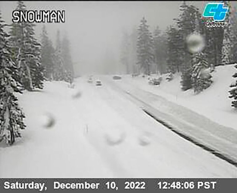
The weather is part of the same system that dumped heavy snow in the Sierra Nevada over the weekend before moving east.
In northern Utah, a tour bus crashed on Monday morning as snow and frigid temperatures blanketed the region. The bus flipped onto its side in Tremonton after the driver lost control while switching lanes, the state’s Highway Patrol said in a statement. The Highway Patrol said 23 passengers were injured, some seriously.
The storm system was expected to move into the Northeast and central Appalachians with snow and freezing rain by late Wednesday, forecasters said. In the south, the storm was expected to move into southwest Mississippi, bringing risks of flooding.